Every day that I'm in my office (about 3-4 times per week), I take a photo out the window. Here's today's:
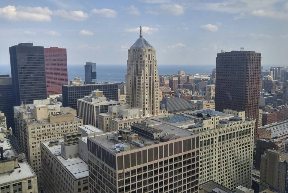
We're on the 35th floor of Willis Tower. But we have access to the 66th floor lobby, so on really clear days I'll sometimes post something like this: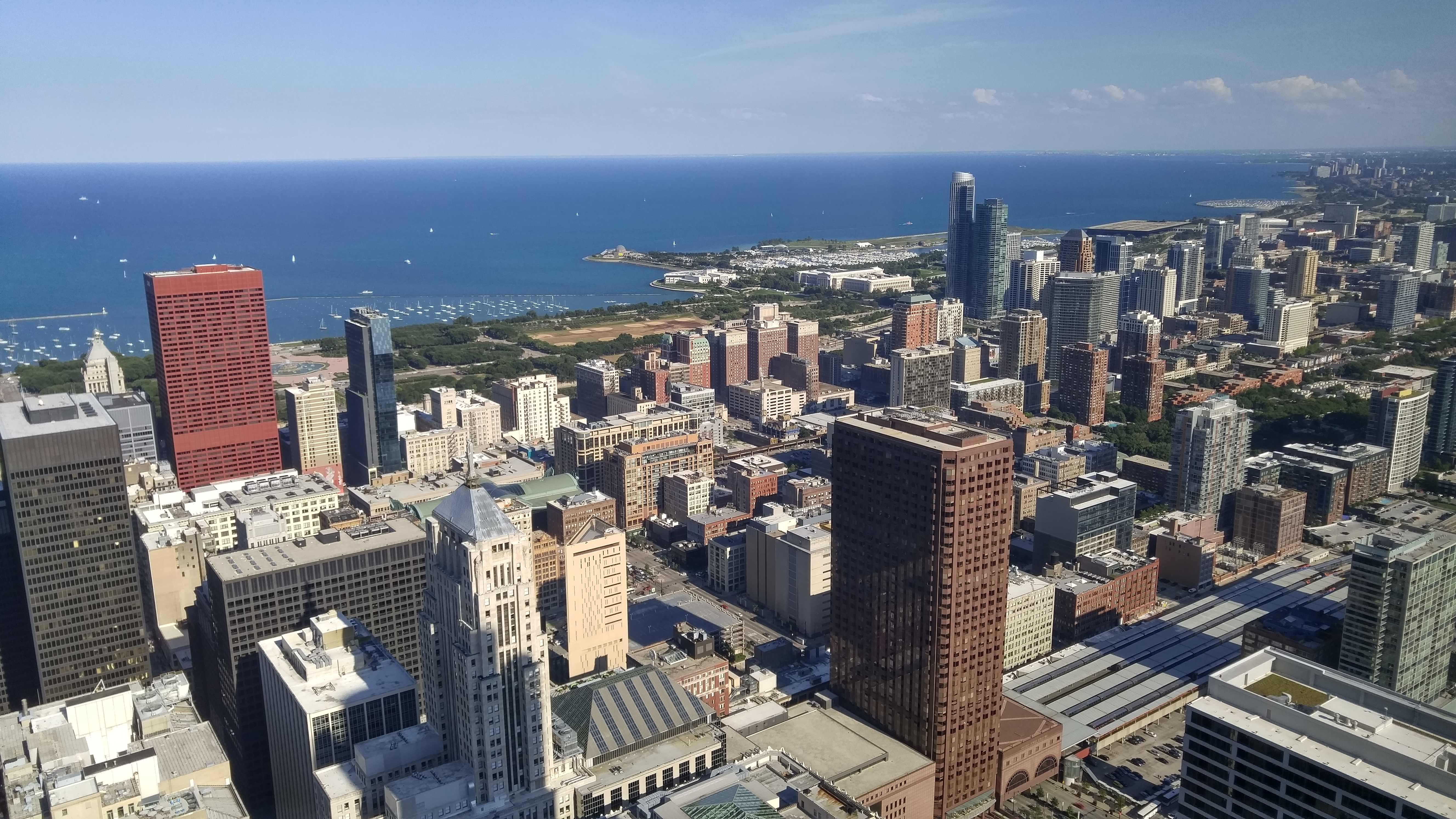
This is one of the coolest things I've seen in a long time:
A new site called OldNYC delivers a Street View-like view of what the city looked like in the late 1800s and early 1900s. The site includes a map of New York City and a slew of dots that can be clicked on to see different images of that particular location.
According to Business Insider, which earlier reported on the site, it was developed by Dan Vanderkam in collaboration with the New York Public Library, which has acollection of more than 80,000 photographs of New York City shot from the 1870s to the 1970s.
While OldNYC is not a Street View clone—users will not be able to "drive" their way through the streets like they would on Google's service—it's somewhat similar. Indeed, users can zoom in and out on a particular location, pick their favorite crossing, and click on the small red dot. Upon doing so, images related to that location are displayed.
I'll be playing with this for a few minutes...
Two more photos from last weekend. This is what I walked around in near Tring on Sunday:
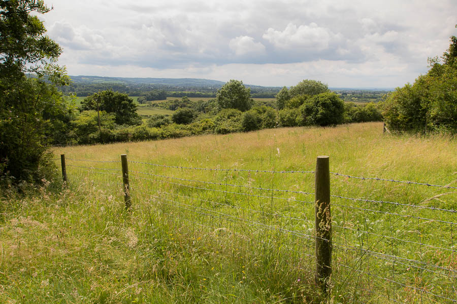
down well-marked paths:
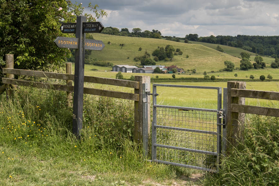
That, I tell you, is England. Which I hope very much will stay in the United Kingdom.
I visited the Tate Modern on Saturday to see their new building and snapped some photos. Here's the north face with the Millennium Bridge off to the left: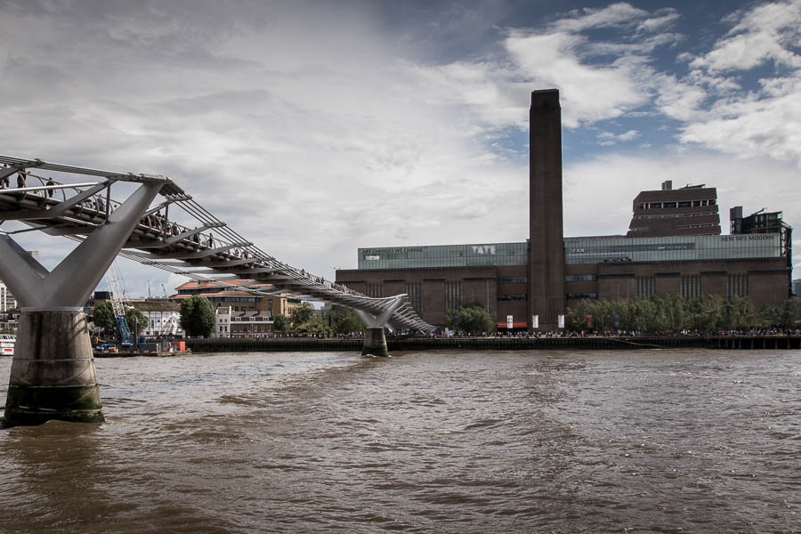
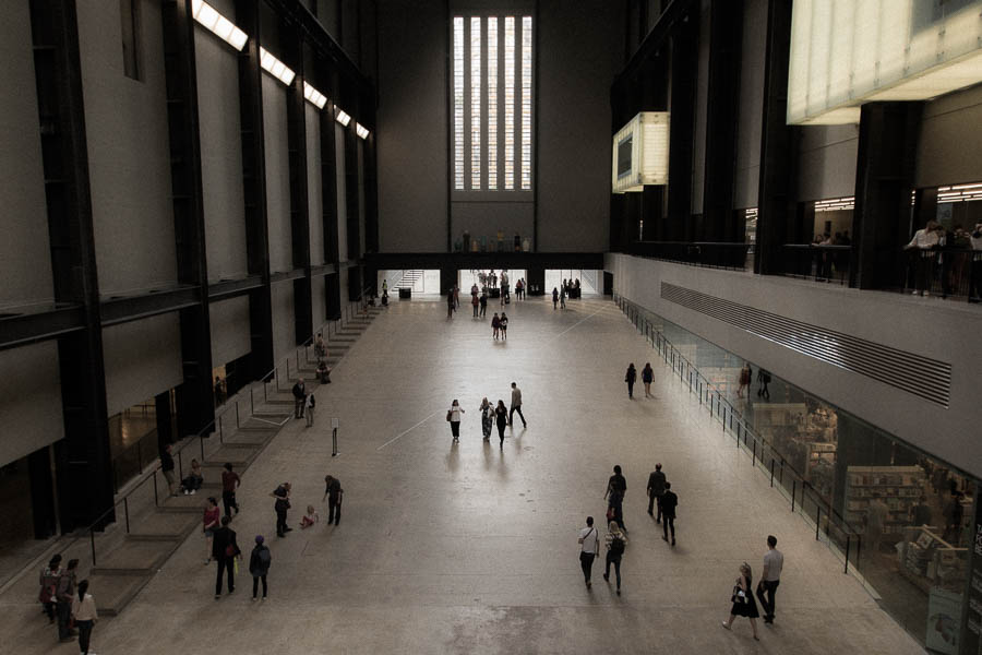
A better photo of the west entrance foyer:
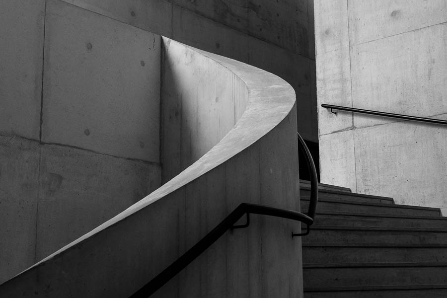
And one of the staircases in the new building:
Later today or tomorrow, a couple photos of my hike in Buckinghamshire.
Today was pretty full. I took a train to Tring, hiked for two hours, came back to London, and walked around Kensington for a couple more. Now it's 11pm on Sunday night and everything is closed.
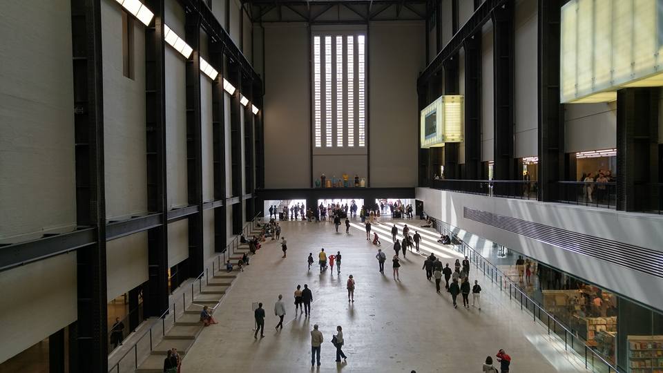
I won't have all the photos I took yesterday and today ready until I get back to Chicago, but here are a couple. First, the Tate Modern:
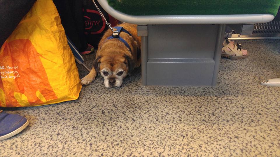
Second, this guy, who rode in my train carriage on the way back from Tring:
These are just from my phone. I did lug my real camera all over the hills of Buckinghamshire today, so I'll have real photos later in the week.
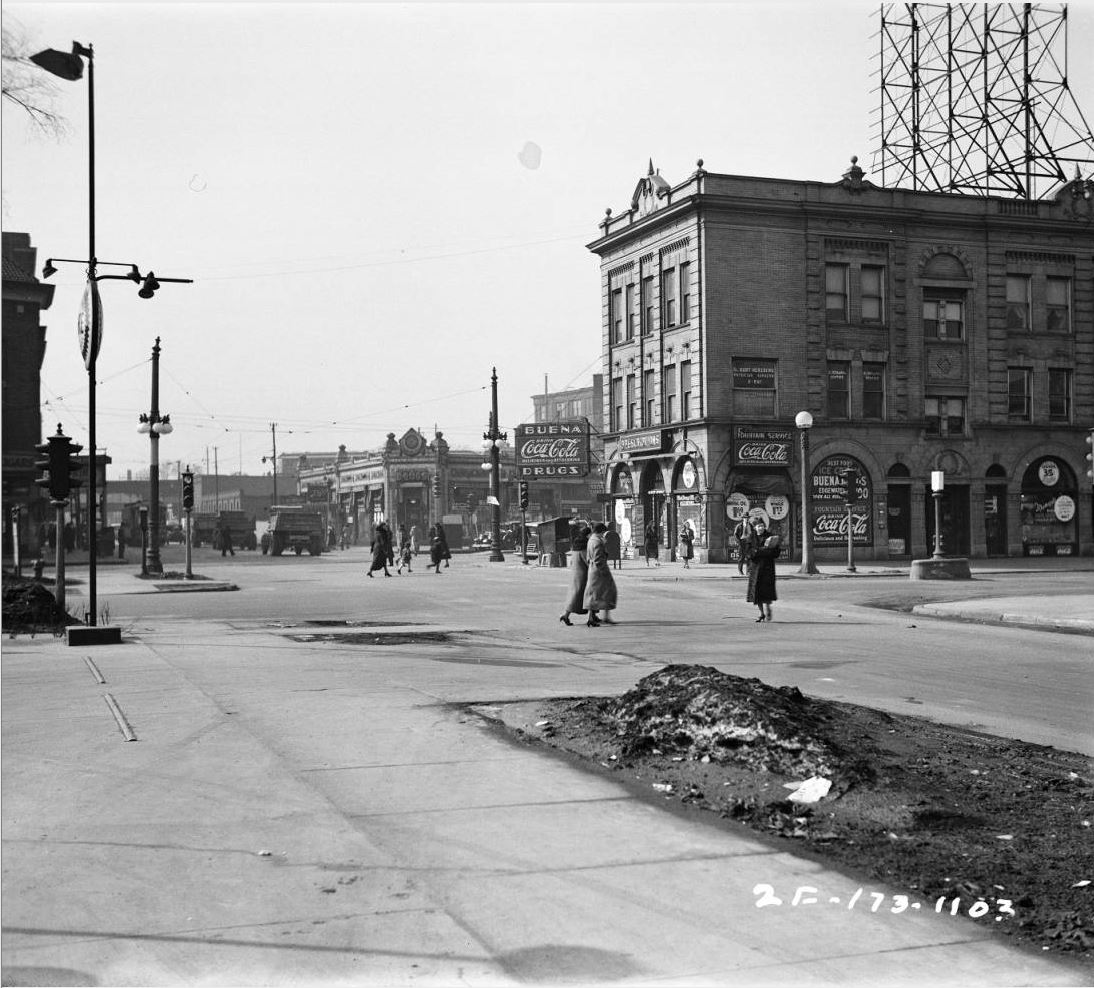
Chicago historian John R. Schmidt frequently has "Then and Now" features where he shows a part of the city as it appeared when he was a kid against how it appears now. I just found a trove of historical photos produced by the Illinois Dept. of Transportation, including a few dozen from my neighborhood, so I can play the same game.
Here's the intersection of Sheridan, Broadway, and Montrose, looking west down Montrose, from March 1936, more than 80 years ago:
Here's this past Tuesday:
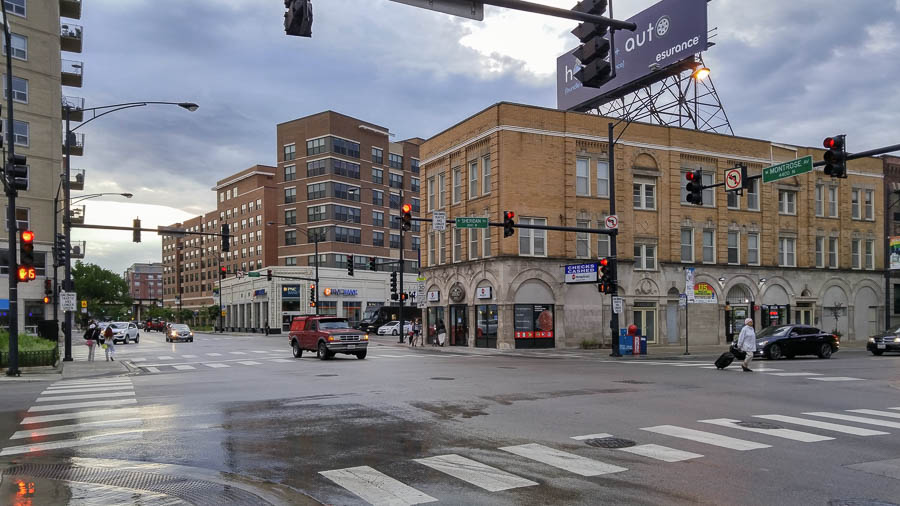
Though some of the details have changed, both buildings flanking the north side of Broadway still exist. But the Wilson Yard development, from 2006, has taken over most of the area between Broadway and the El tracks. And past the El, the mature trees have changed the character of Montrose.
Another thing I notice about photos of Chicago and other U.S. cities before about 1990: the haze. Starting in the 1970s in California and the 1980s elsewhere, governments cracked down on air pollution. Chicago in 1936 would have been intolerably polluted to Millennials. The top photo gives a hint of why.
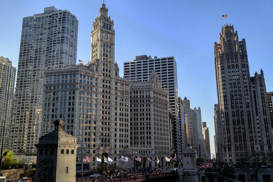
Michigan Avenue at the river:
From a couple of weeks ago, when I went to a networking event by the river: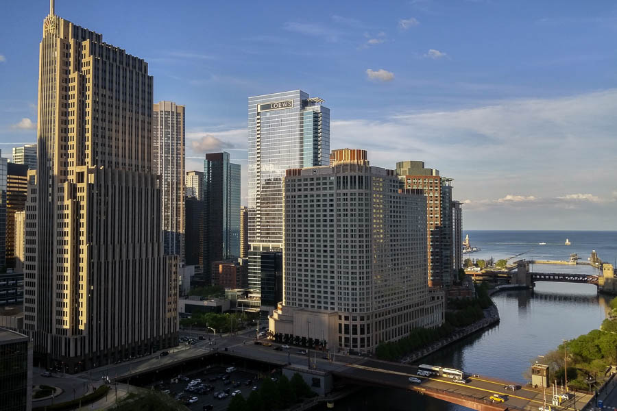
And from Sunday, on the way to perform Mahler:
I'm in Bend, Ore., today, doing nothing of value (except blogging and photographing). I'll have a few photos tomorrow or Monday. My goal for the next several hours is to get 25,000 steps in this perfect weather. (I have sunscreen.)