After sorting out my train drama last Monday, I made it to Aachen, Germany, and thence to the Dreiländereck: the point where Belgium, Germany, and the Netherlands meet. I am, as everyone knows, a big geography nerd, and I also like to have an excuse to take a long walk. This satisfied all the objectives.
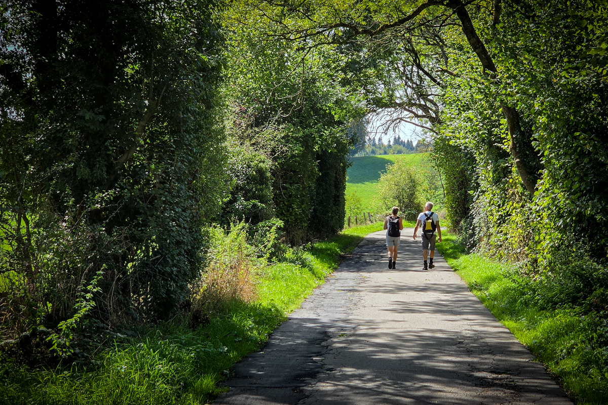
The 6.1-km hike from Aachen to the Dreiländereck took just over an hour of walking time plus another 7 minutes of photographing-things time, so on that level it wasn't the hardest walking I've ever done. That said, on many other levels, the climb from Aachen to the monument was a bit hard, due to the 154 meter (505 feet) climb and warm temperatures. It was also absolutely gorgeous:
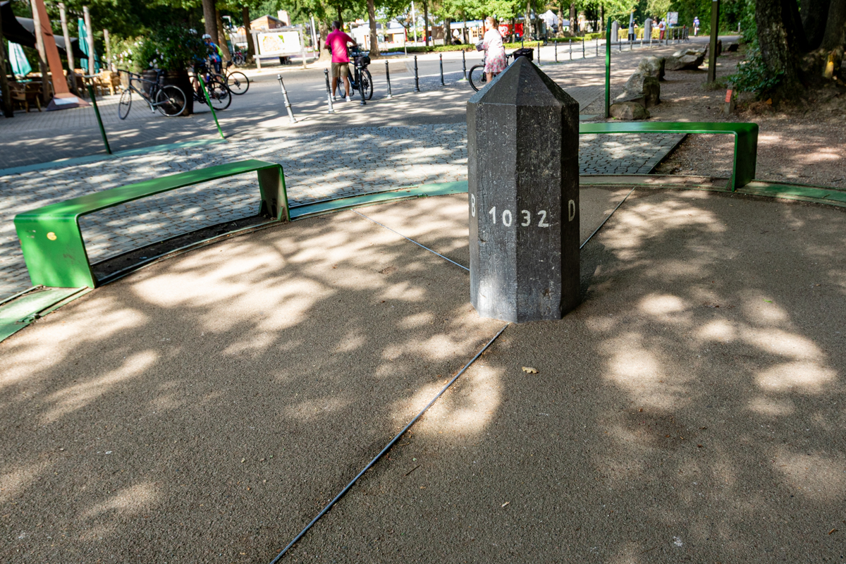
The monument itself isn't that big, but it's a lot of fun to walk around it and cross the borders a bunch of times:
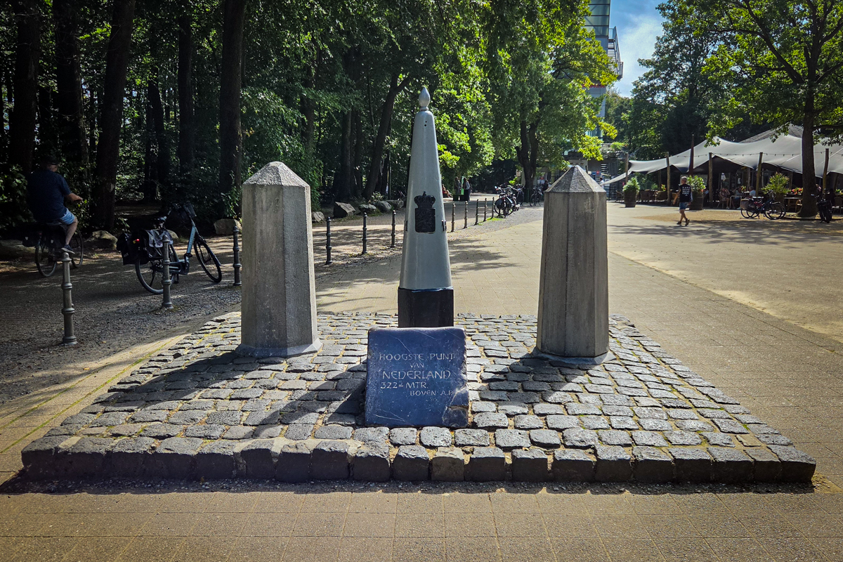
And just a few meters from that monument is another one pinpointing the highest point in the Netherlands:
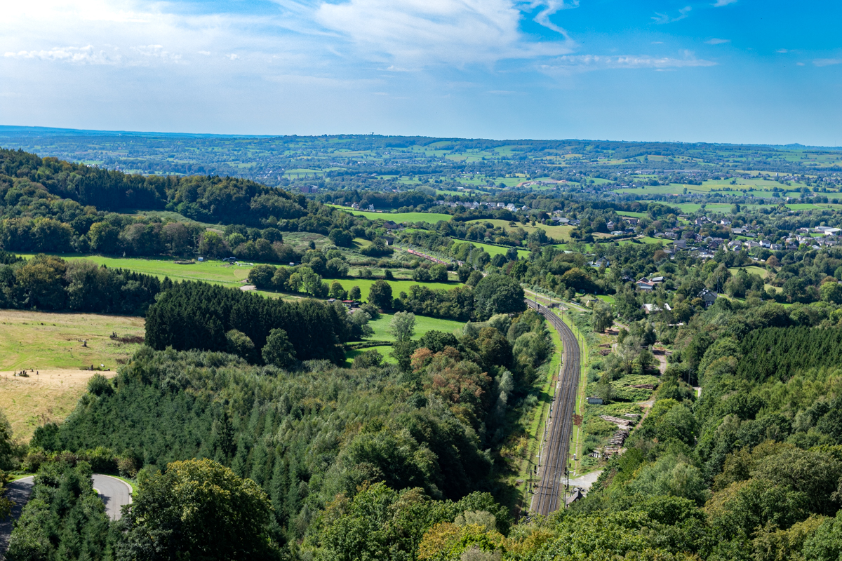
Just a few meters in the other direction, in Belgium, is the 50-meter (160-foot) Boudewijntoren observation tower, which has a view of all three countries. This is the southwest view, into Belgium:
After a quick snack (Dutch sausage and frites), I walked through the Netherlands to Vaals, where I caught the public bus back to the Aachen train station, thence back to Liège. The entire day completely failed to suck, and this was one of the best parts.
Copyright ©2026 Inner Drive Technology. Privacy. Donate!